
Today I am enjoying a public holiday. This is because of the peculiarities of our history as a federation of states (and those lesser beasts known as territories), and the vagaries of border demarcations from various times in the history of this country over recent centuries.
Our state boundaries evolved over many decades. Our federation was originally intended to include New Zealand, but they invoked the Tasman Sea and remained a separate nation. Five states agreed to join the federation through referenda held in 1898 and 1899. Western Australia, naturally, came to the party only late, joining up with a last minute yes vote on 31 July 1900, just in time for the declaration of Australia on 1 January 1901.
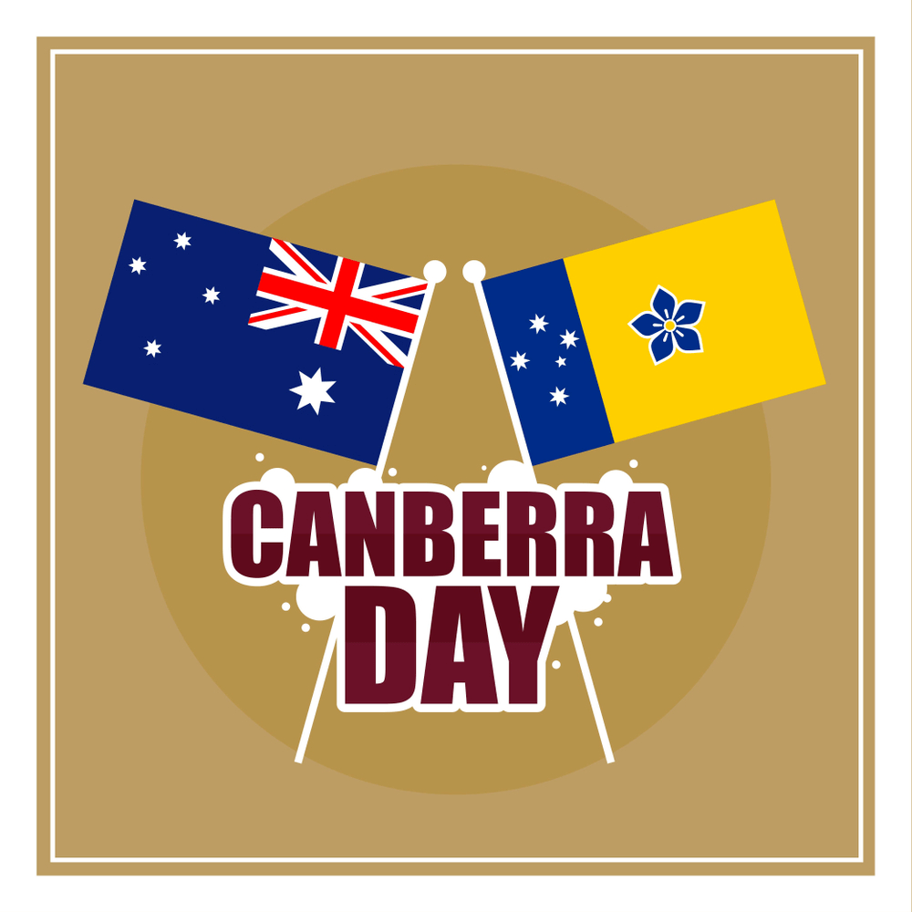
I live, as you probably known, in the #anonymousterritory amongst the #undifferentiatedeasternstates (at least, that is how #overeast is seen from #overwest). And the capital of this territory is the city of Canberra—whose day, Canberra Day—is being celebrated today.
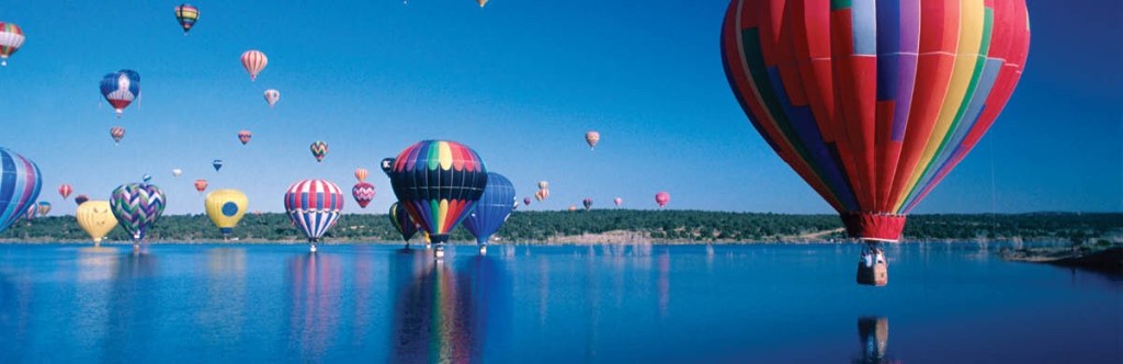
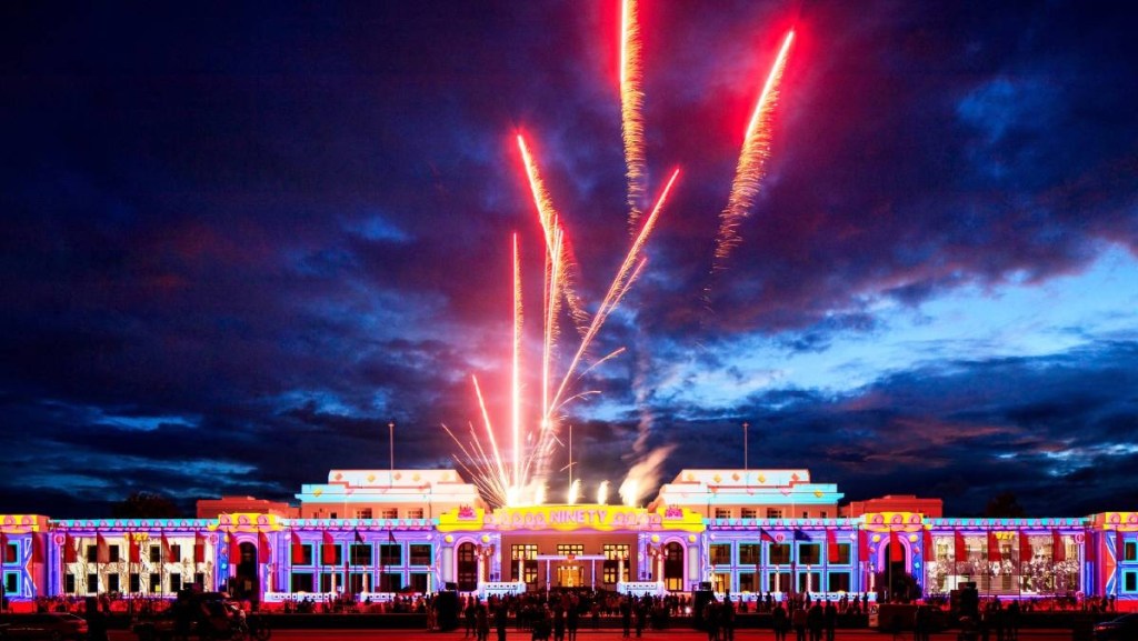
Accordingly, all the employees and public servants and local (territory) politicians here are on holidays, for the day. Over the weekend, there have been early morning balloon flights and evening light shows, and the weekend is surrounded by a ten-day festival with concerts and all manner of festivities on offer.
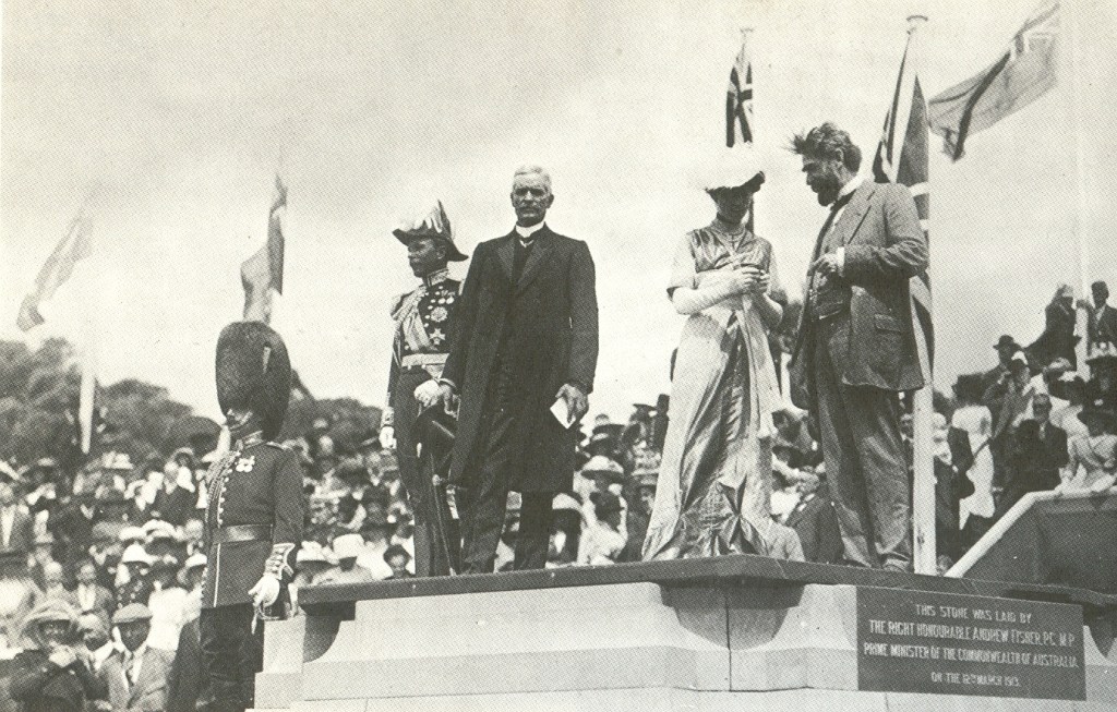
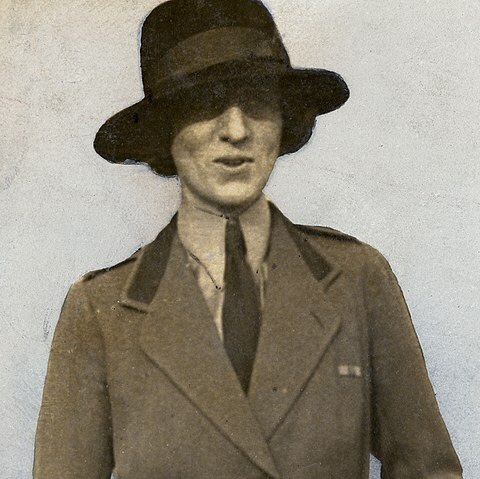
The city of Canberra was named at a ceremony on 12 March 1913 by the wife of the Governor-General, Gertrude Mary Denman, known formally as Lady Denman and informally as Trudie.
The name Canberra, as I have previously blogged, is believed to have been derived from a local Indigenous word which identifies the location as a meeting place, where the Ngunnawal, Ngambri, Ngarigo, Walgalgula, amd Wiradjuri people would meet each year, for a gathering focussed around the bogong moth.
So that’s what all the celebration and festivities are about today—remembering the naming of this place by the daughter of an engineer, who married a minor British aristocrat who was sent to the colonies to represent the British monarch in the fledgling federation.
So today, while people in New South Wales, Queensland, the Northern Territory and Western Australia are hard at work, we Territorians are enjoying a day off—along with folks in South Australia (for Adelaide Cup Day), Tasmania (celebrating Eight Hour Day) and Victoria (celebrating the same thing as the Taswegians, but there it is called May Day—go figure!).
Canberra sits in the area around the Molongolo River, near its junction with the Murrumbidgee River, to the east of the Brindabella Ranges. The area was named Canberra, after much posturing and politicking by assorted leaders, in 1911, when the NSW government ceded the district to the federal government and the Federal Capital Territory was formed. Its name was changed to the present name two decades later.
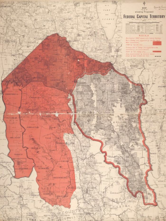
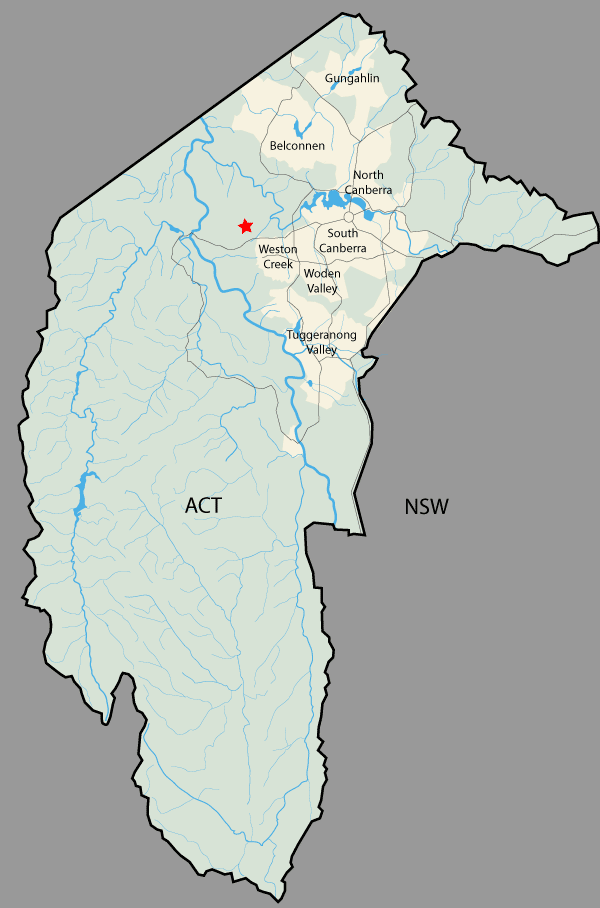
Canberra is the only city in the Australian Capital Territory. If you look at a map, you will see that the shape of the ACT is quite distinctive. The way the borders were agreed to offers a very interesting story. They produce a territory with a very strange shape. Some might say, this quite befits the place where politicians gather from all over the continent, to work in the very strange environment of the APH (the Australian Parliament House) and to make decisions which also have some very strange aspects!
There is one section of the ACT borders that is a straight line; the rest is far from straight. The shape of the ACT is quite asymmetrical, and Canberra is bunched into just one end of the elongated shape that forms the territory. The rest of the ACT is set aside as a series of nature reserves and the Namadgi National Park.
The story of how the borders were decided, and then surveyed and implemented, is told in this ABC article:
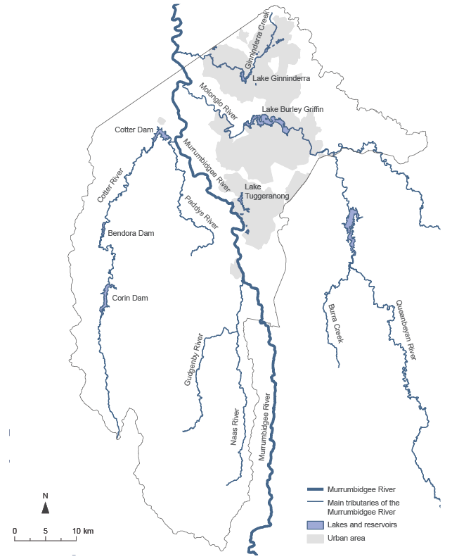
The original intention was to form a territory around the series of rivers in the region. The ACT was going to be a horseshoe shape, since the Surveyor-General, Charles Scrivener, originally wanted to include the Queanbeyan and Molonglo River catchments, and the Queanbeyan township itself, in the Federal Capital Territory.
That proposal was—surprise, surprise!—vetoed by the NSW government, who did not want to lose the main southern train line as it earn south from Queanbeyan. You can check this by following the train line south from Queanbeyan—the eastern ACT/NSW border follows the train line precisely, through all its twists and turns, to the southern tip of the ACT.
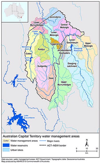
Mind you,as the above map indicates, the ACT water catchment area still draws from all the river systems originally proposed. And in this way (along with employment and entertainment factors), Queanbeyan is integrally connected with Canberra!
So, back in the day, in place of the Queanbeyan catchment, the NSW Government offered a series of catchments to the south of the Molongolo—the Cotter, Gudgenby, Naas and Paddy’s River catchments—which gave the territory is distinctive elongated shape.
And so we rest and ponder and enjoy the day.
See also
https://johntsquires.com/2018/12/18/learning-of-the-land-2-ngunnawal-namadgi-and-ngarigo/
https://johntsquires.com/2018/12/17/learning-of-the-land-1/
